Intersection of Main and Franklin Streets
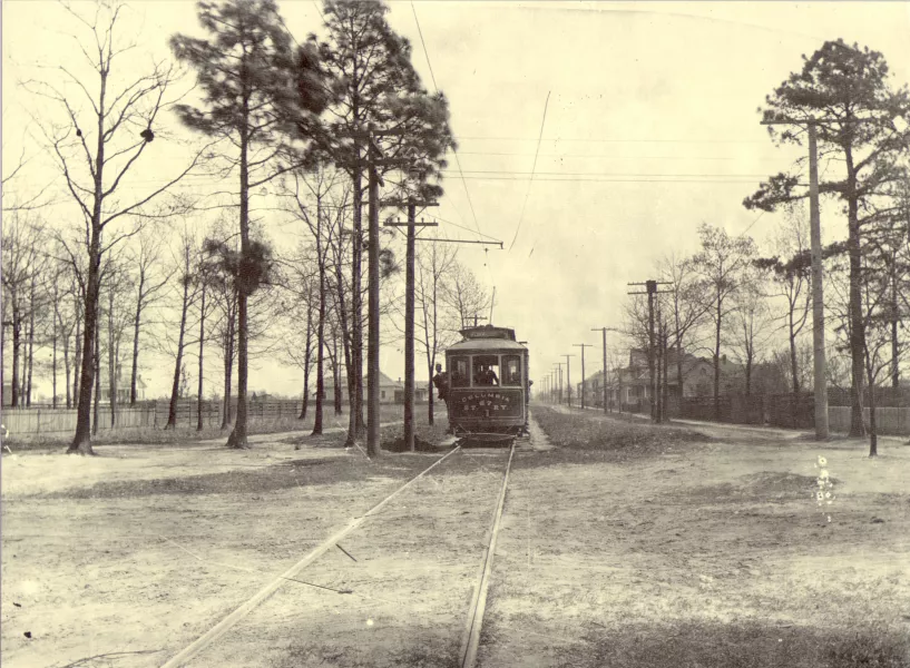
Streetcar Line
Public transportation in the form of streetcars played a major role in Columbia’s early suburbanization. In 1896, extensive work pushed the original electric rail service beyond its initial boundaries, extending the Main Street streetcar line miles north of Upper Street (Elmwood Avenue) into Hyatt Park and Eau Claire, furthering the development of both of these areas. Along the route lay the former cotton district reestablished as the new suburb of Bellevue. Connected to downtown and other outlying districts, residents of the development benefited from ease of travel and the trappings of life in new houses.
Interestingly, the name Bellevue is also associated with points much farther north of today’s Cottontown neighborhood. “Bellevue Place,” was a name apparently assigned to the area around or specifically the location of today’s Ensor-Kennan House in Eau Claire, based on surviving historic photographs. Additionally, a June 26, 1896 article in The State newspaper referenced “Bellevue springs” in its coverage of the area’s natural beauty and modern transportation system.