Columbia Canopy Project
Description
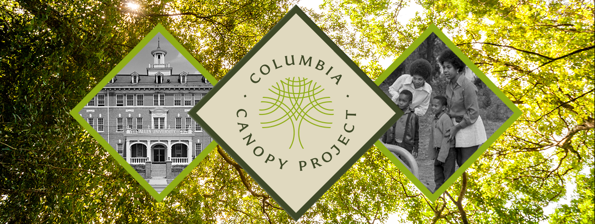
A partnership between Historic Columbia and local nature non-profit Columbia Green, the Columbia Canopy Project is a multifaceted effort to address the impacts of structural racism on our city’s communities.
View Neighborhood Histories
In 2021, Columbia Green and Historic Columbia received a generous grant from the CWD3 Fund, a donor-advised fund of the Coastal Community Foundation of South Carolina, to increase the urban canopy in Columbia’s underserved neighborhoods and to honor these communities’ previously unrecognized leaders. With input by a steering committee comprised of representatives from Columbia Green, Historic Columbia, Columbia Tree and Appearance Commission, City of Columbia Parks and Recreation, City of Columbia Forestry and Beautification, as well as professional landscapers, arborists and community leaders, the Columbia Canopy Project was formed.
In 2022, Historic Columbia began researching and crafting long-form narratives on the history of each community participating in the project, many of which have never been researched. Communities participating in the project are: Allen University, Barhamville Estates, Belmont/Gable Oaks, Belvedere, Benedict College, Booker Washington Heights, Burton Heights/Standish Acres, College Place, Edgewood, Greenview, Harlem Heights/Fairwold Acres, Hyatt Park/Keenan Terrace, Jones-McDonald Community, Lower Waverly, Lyon Street Community, North Pointe Estates, Northwood Hills, Pinehurst, Prescott Manor, Seminary Ridge, Waverly, and Windemere Springs.
To supplement these narratives, Columbia Green has planted trees in participating communities to memorialize their individual leaders and provide a place of natural beauty for neighbors to enjoy. Wayside signs and an accompanying website will detail the purpose of the project, the important work done by community leaders, and the history of each community. The Columbia Canopy Project was launched on South Carolina's Arbor Day: December 1, 2023.
In Partnership With
Project Deliverables
Long-form Essays (StoryMaps)
Presentations Available
Wayside Signage
Project Images
-
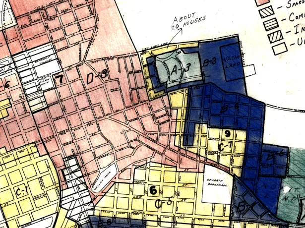
Detail of Redline Map of Columbia, S.C., 1937. (Mapping Inequality, University of Richmond)
-
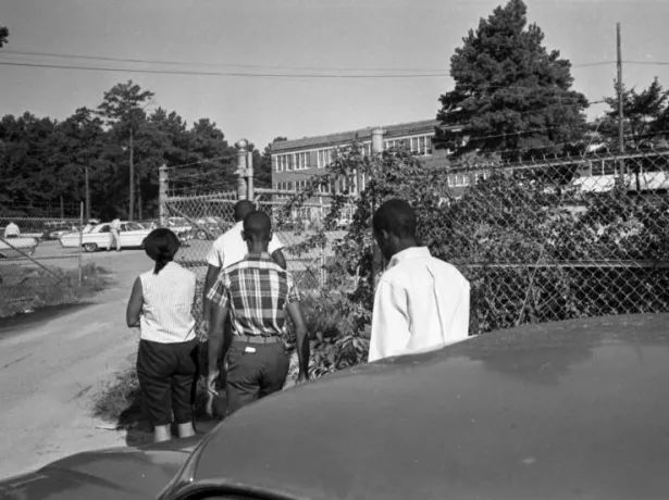
First day of integrated classes at Eau Claire High School, 1965. (The State Newspaper Photograph Archive, Richland Library)
-
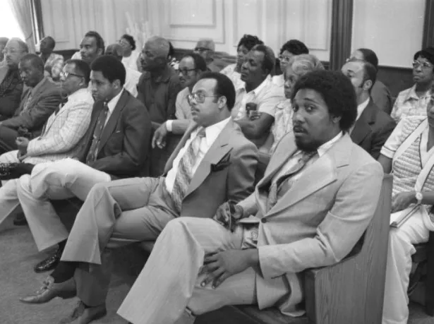
Booker Washington Heights residents at City Hall, 1977. (The State Newspaper Photograph Archive, Richland Library)
Research Team

Reach Out to the Research Team
Historic Columbia supports all members of our community through project-based partnerships with tangible deliverables. Have an idea but not sure what comes next? Get in touch with a member of our team today!